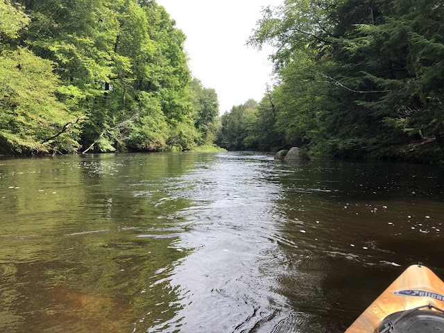
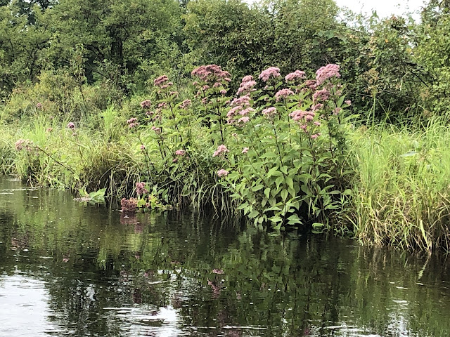
Beautiful one-way trip from Peterborough to Powder Mill Pond near Bennington. Bike shuttle back to start along the Old Railroad Trail then Rt 202. Very nice bike trail except I got a flat tire (nail) with about 1/4 mile left back to put-in. Water level was great for late summer due to the Remnants of Fred, 2.15 ft and 150 cfs on the Peterborough gauge. The only negative of this trip was the air was so still and area damp and wet, mosquitoes were out in force, difficult to even stop for lunch, but paddling down the river was fine. The trip itself starts with quickwater and a split in the river. I went right, the left had a couple trees blocking most of that channel. Some boulder dodging but never had to get out of the boat, the river is wide enough that it was easy to avoid any fallen trees. The second half the water slowed a bit but was very pleasant. Took a short side trip (100 yards) up Otter Brook to a beaver dam. Saw one cyclist pass above the foot bridge. No other boaters and very limited wildlife, just a couple of ducks, one blue heron, one deer. Maybe everyone still hunkered down from Fred. The end of the trip was beautiful still water and marsh with mountains in the distance as you approach the red covered bridge Hancock-Greenfield. Easy exit at the boat ramp. Great trip.
Start: North Village Dam, Peterborough, NH
End: Hancock-Greenfield Covered Bridge, Greenfield, NH
Distance: 7 miles
Time: 2.5 hours
At the put-in
Looking upriver, North Peterborough dam is just beyond the Rt 202 bridge
Side trip up Otter Brook
Anyone need a pit stop?
Rail trail visible at several points
Hancock-Greenfield Covered Bridge comes into view
Avid fisherman
The takeout


