Showing posts with label Assabet River. Show all posts

Saturday, April 27, 2024

Assabet River - Maynard to West Concord

Nice spring trip down the Assabet River through downtown Maynard rapids into West Concord. Water levels were good, 261 cfs, 2.8 ft on the Maynard gauge. Scraped bottom a few times through Maynard but there was enough flow to get through without major issue. The biggest drop was under the very first bridge (Great Road / Rt 62), followed by a lot of Class I and quickwater until the Waltham St bridge Class II finale. A guy walking his dog across that bridge stopped to see how I'd do, I made it through with just a few scrapes. One portage on this trip, left around the Powder Mill Dam which was flowing fast and furious. The rest of the trip was quickwater to the very muddy Pine Street takeout.  Saw two fly fishermen in Acton. Many turtles were out sunning today.  

Start: Ben Smith Dam, Maynard, MA
End: Pine St Bridge, West Concord, MA
Trip Time: 1 hour 45 minutes 
Trip Distance: 5 miles


Put-in below the Ben Smith Dam

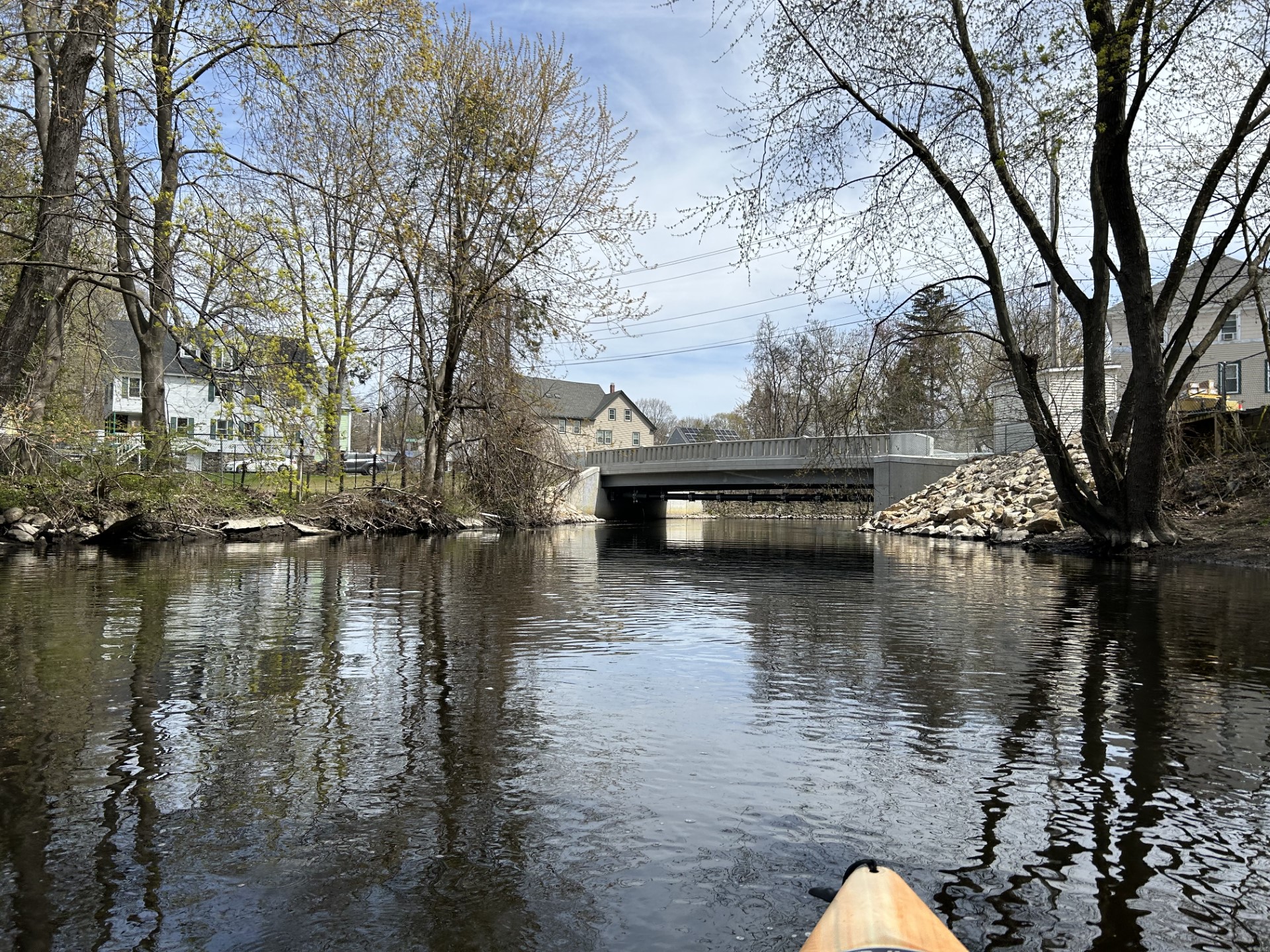
Great Road (Rt 62) bridge, I went right this time

Newly rebuilt (2023) Florida Road bridge 


Heading into downtown Maynard under the Assabet River Rail Trail then Main St bridges

Some outflows here and there but the river smelled fine on this day

Turtle time!!

looked like an abandoned kayak and a clear glass time machine above it

Powder Mill Dam in Acton, from above..

.. and below


A video to capture the flow and sound: 


Getting back onto the river below Powder Mill, had to drag/ferry to the right side of that abutment

Damon Mill looking stately in the sun

The mill race below Damon Mill

The muddy takeout at Pine Street.  River was sparkling 


Saturday, May 6, 2023

Assabet River - Marlborough to Hudson

Nice spring paddle on a 70F day down the upper Assabet River.  After cable-locking my kayak to a tree at the put-in, I parked in the lot behind the Hudson Fire Department and uber'ed back to the start.  Medium-high water levels, 3.22 ft and 374 cfs on the Maynard Gauge, made for very smooth trip, just one required portage due to a river-wide tree just beyond the Rt 290 tunnels.  Several other slide overs and tree limbos but very manageable.  A couple Class I drops in the first open field section beyond Solomon Pond Mall (not visible from river) where North Brook joins were fun.  The second half of the trip was very marshy, windy leading into Hudson. Turtles, turtles everywhere.  Also lots of red-winged blackbirds and several pairs of mallards. 3-4 other boaters out in Hudson.  

Start:  Hillside School Wildlife Sanctuary, Marlborough, MA
End:  Hudson Fire Station, Hudson, MA
Trip Time: 1 hour, 50 minutes
Trip Distance:  5.5 miles  

Downstream from the put-in

And upstream...

The massive Tyler Dam is about 100 yard upstream from the put-in

Turtles enjoying some sun

Tunnels under Rt 290... long!


This was the only portage of the day

Quickwater in the first clearing

Bridge Road, Berlin MA


Don't know how that highway barrel got up there!


Note the raised right leg 😤

The busy I-495 crossings

Chapin Road bridge ... note the 2 extra culverts at the right to manage floods


Yep more turtles

Interesting footbridge

Old armory in Hudson

Take-out is straight ahead, fisherman on the right


Saturday, January 28, 2023

Assabet River - Acton Canoe Launch to Lowell Road

First trip of 2023!  With water levels way up due to recent rain storms, no ice on the main river and decent weather for January, 43F and sunny, decided to do a one-way trip from Acton Canoe Launch to Lowell Road in Concord. Uber'ed back to the start. The river was cooking, Maynard gauge (4.64 ft, 950 cfs).  At the start, it was too strong to paddle upriver to Powdermill dam, so I pointed downstream and went with the fast flow.  No river-wide obstructions anywhere, or if there were any they were fully submerged.  Damonmill looked a little choppy but was a smooth ride through.  Paddled up to the Haywards Pond outlet, usually not reachable at lower water levels.  The Pine Street bridge was low clearance but made it under the right side without having to do a full limbo.  Towards the end of the trip took a short trek up Spencer Brook to the road, usually too brushy to get that far.  The Egg Rock inscription was completely submerged!  A few birds spotted: red-tailed hawk, blue jay, plus the usual mallards and canadian geese. Too early for turtles.  
 
Start: Acton Canoe Launch, Acton, MA
End:  Lowell Road Boat Ramp, Concord, MA
Trip distance:  6.25 miles,
Trip time: 2 hours 
 
At the put-in

Footpath to Powdermill dam under Rt 62 bridge is underwater...

 
Approaching Damonmill

View scouting from Damonmill mill parking lot, the old dam remnant to the right

Looking towards Haywards Pond outlet

Ice and low bridge blocked access to Damonmill race mill
 
Very low clearance at Pine St Bridge
 
MBTA Commuter rail bridge
 
No waiting on that bench today

 
Egg Rock submerged

At the takeout