Saturday, October 28, 2023

Souhegan River - Kaley Park to Seaverns/Fields Bridge

Gorgeous foliage trip down the Souhegan River on a warm, sunny 80F day. Leaves were falling all around and light wind made this a great trip. Uber'ed back to the start from the severely eroded takeout, parking for 2-3 cars across the street. The put in at Kaley Park has plenty of parking and a great staircase down to the water, though a little steep, I put in at a muddy patch 10 feet down river. The water level was medium-low, 3.96 ft, 130 cfs on the Milford gauge, which made the one rapid under Route 101 bridge easy to manage by going river right, maybe a class 1+ at this level. Scraped a couple times early but the rest of the trip was smooth paddling, no portages. Several golfers seen in the middle section. Passed a motionless blue heron at one point, usually they take off immediately.  

Start: Kaley Park, Milford, NH
End: Seaverns/Fields Bridge, Merrimack, NH
Trip time: 2 hours, 5 minutes  
Trip distance: 6 miles 


Nice stone marker (2012) at the Kaley Park put in

Whitewater kayaks could slide down the middle, I put in 10 feet to the right


There was light at the end of this tunnel but also some odors too - Milford Waste Water Facility

Old bridge abutments

High Route 101 bridge in the distance

Looking back upstream after running the rapid under Route 101, left side of picture (river right)

Leaves were falling here, several landed on my boat.

Amherst Country Club

The Hanging Gardens of Amherst

Pulley contraption... maybe collecting lost golf balls?

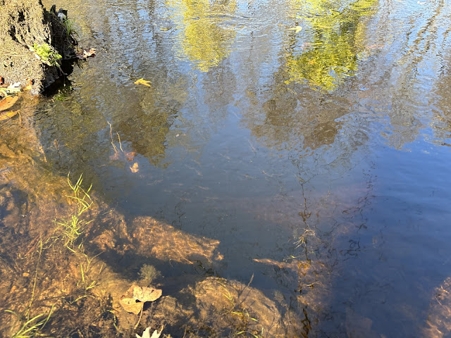
Nature is amazing...

Down in a hole 

Sandy river bottom

Boston Post Road bridge

Stopped for lunch

Some minnows nearby

River wide blow-down near the end of trip, was able to squeeze by on the right without getting out

Orange float near a river sucker


At the take-out


Sunday, October 8, 2023

Pemigewasset River - Robbins Nest Road to Blair Bridge

Beautiful trip down the Pemigewasset on a mostly cloudy 52F fall day. The heavy rain forecast for Saturday did not end up raising the water level as high as expected but still high enough that the current was swift, did not need to get out/drag through any of the numerous gravel bars. The river is very wide, any fallen trees did not cause problems, no portages on this trip. The water level on the Woodstock gauge 3.24 ft, 456 cfs.  Bike shuttled back along the hilly Rt 175, caught glimpses of the Beebe and Mad Rivers.  The Pemi has that White Mountains feel with rounded boulders, many sandy beaches, some gravel bars, scenic mountain vistas, and beautifully clear water. Foliage was not quite peak but saw some nice colors. Made a side trip up the Mad River, made it about 50 yards before the current turned me back. One small negative, the highway noise from I-93 becomes more prominent the 2nd half of this trip. Bucket List river ✅.  

Start: Robbins Nest Road, Thornton, NH
End:  Blair Covered Bridge, Campton, NH
Trip time:  3 hours, 5 minutes  
Trip distance: 9.5 miles


Three pics from the bike shuttle back to the put-in: 
Crossing Blair Covered Bridge

Crossing the turbulent Beebe River via Rt 175


Outlet of Campton Pond, the Mad River continues to the Pemi

The put-in at Robbins Nest Road under the Cross Road Bridge

Looking upriver from the put-in

And downriver...

Blue skies turned to gray


Rail bridge and first I-93 crossing in the distance

Stopped for lunch on this nice beach

Lunch-time view

Gorg foliage

Sandy cliffs

End of the line?

Not quite peak colors here

Started up the Mad River...

...but didn't make it too far up the Mad before the water turned "angry"  😜

Blair Bridge comes into view, take-out on right below the bridge

One last look upstream to the mountains.  Great trip!