Saturday, October 9, 2021

Assabet River - Acton Canoe Launch to Lowell Road

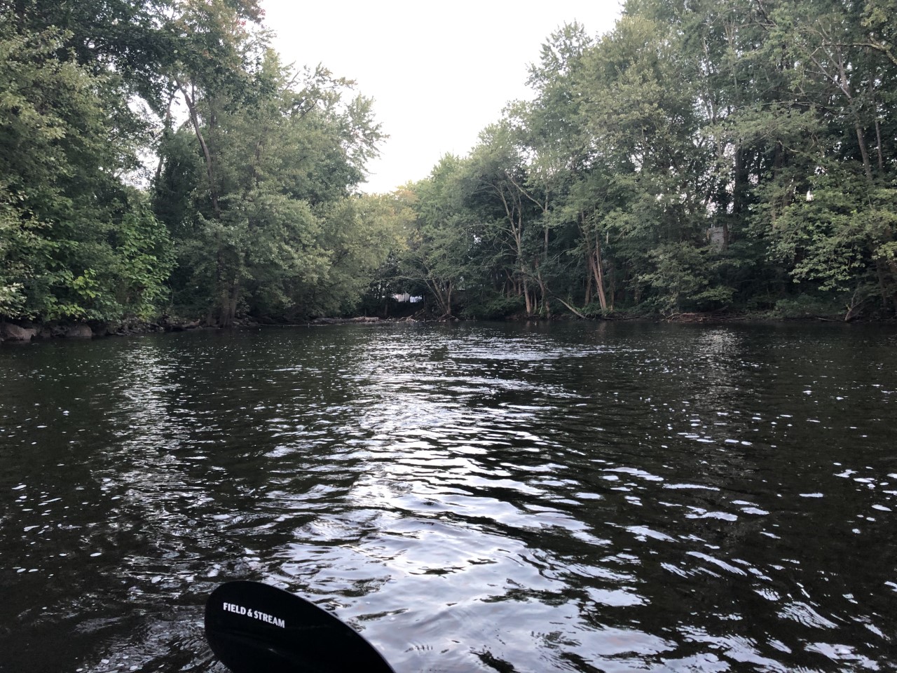
Beautiful one-way trip down the lower Assabet on a gorgeous fall morning 60F partly sunny skies.  Water levels were great 2.91ft, 292 cfs on Maynard gauge.  Parked at end point and uber'ed back to launch. Walked about 50 yards up river, under the Rt 62 bridge, towards Powdermill dam to run the rapids underneath the bridge.  This stretch of river was amazing.  Followed a family of geese running the rapids near Damonmill.  Explored the mill race back up up and nearly under the old building before it got a little too dark, creepy.  Ran into one river-wide tree blowdown between Damonmill and Thoreau school.  Portaged right and lost both (!) my slip-on sneakers in the mud.  Below Pine Street, I took one more side trip up the Nashoba Brook to the outlet of Warner's Pond.  Even did a little "surfing" at the base of the small waterfall.  The rest of the trip was smooth and easy. Wildlife seen:  red-tailed hawk, red-headed woodpecker,  kingfisher (a first for me), turtles, and a deer.  Things got crowded the last 1/2 mile near the Concord river, 10-12 boaters were also out enjoying the rivers.   
 
Start: Acton Canoe Launch, Acton, MA
End: Lowell Road Boat Ramp, Concord, MA
Trip distance: 6.25 miles
Trip time:  2.5 hours.  

Acton Canoe Launch put in

Approaching Damonmill

 
Up the Damonmill race mill:


Blowdown near Thoreau School, portaged right and lost both slip-on's in the muck
 
Bruce Freeman rail trail bridge:
 
Commuter rail bridge
 
Side trip up Nashoba Brook:

 
Outlet of Warner's Pond:

Spot the deer
 
Nice fall colors


Egg Rock


Thursday, September 16, 2021

Assabet River - Through Maynard

Finally ran the rapids through downtown Maynard!  Water levels were good (Maynard gauge: 2.61 ft, 212 cfs) but would be less scratchy, better run at 3-4 feet.  Put in below the Ben Smith Dam from the small office building parking lot.  Took out at the Elks Lodge 1.5 miles down river.  Had to cut short the originally planned 5-mile trip down to Pine St in West Concord due to lack of ubers and fading daylight (6:15 start, 6:52p sunset).  So I parked at the Elks and walked/jogged the 1.2 miles through Maynard center back up to Ben Smith and my kayak locked to tree.  Series of class II rapids were fun.  Got wet on the very first drop under the 117/62 bridge, but did not swim.  Scraped over the middle rapids and temporarily got stuck on a underwater rock during one of the calm stretches.  The final rapid under the Waltham St bridge was most intense, strong current and a wave train after.  A short but very fun trip on a mild late summer evening.  
 
Start: Ben Smith Dam, Maynard, MA
End: Elks Lodge, Maynard, MA
Trip distance: 1.5 miles,
Trip time: 30 minutes.      

Ben Smith Dam:


Into the quickwater:
 
A calm break in the middle:
 
Through downtown Maynard:


Sunday, September 5, 2021

Lamoille River

Family trip down the lovely Lamoille River.  Rented two 2-person canoes from Vermont Canoe and Kayak who provided a shuttle 6 miles up stream.  Water levels were a little low but managed not to get stuck through a few riffles and shallow sections.  Scenic farmland and views of Mt Mansfield along the way.  Passed the North Lamoille river branch but fallen trees prevented exploration up that branch.  Many sandy beaches along the way, stopped at one near the new bike path for lunch.  Passed under one covered bridge.  Exciting class I rapids to end the trip just before the Route 15 bridge in Jeffersonville. Fun trip.  
 
Start: Foote Drive, Jeffersonville, VT
End: Route 15 bridge, Jeffersonville, VT
Trip Distance: 6 miles,   
Trip time: 3 hours (estimated).


Friday, August 20, 2021

Contoocook River - Peterborough to Bennington

Beautiful one-way trip from Peterborough to Powder Mill Pond near Bennington.  Bike shuttle back to start along the Old Railroad Trail then Rt 202.  Very nice bike trail except I got a flat tire (nail) with about 1/4 mile left back to put-in.  Water level was great for late summer due to the Remnants of Fred,  2.15 ft and 150 cfs on the Peterborough gauge.  The only negative of this trip was the air was so still and area damp and wet, mosquitoes were out in force, difficult to even stop for lunch, but paddling down the river was fine.  The trip itself starts with quickwater and a split in the river.  I went right, the left had a couple trees blocking most of that channel.  Some boulder dodging but never had to get out of the boat, the river is wide enough that it was easy to avoid any fallen trees.  The second half the water slowed a bit but was very pleasant.  Took a short side trip (100 yards) up Otter Brook to a beaver dam.  Saw one cyclist pass above the foot bridge.  No other boaters and very limited wildlife, just a couple of ducks, one blue heron, one deer. Maybe everyone still hunkered down from Fred.  The end of the trip was beautiful still water and marsh with mountains in the distance as you approach the red covered bridge Hancock-Greenfield.  Easy exit at the boat ramp. Great trip.     
 
Start: North Village Dam, Peterborough, NH
End: Hancock-Greenfield Covered Bridge, Greenfield, NH
Distance:  7 miles
Time:  2.5 hours 

 
At the put-in

Looking upriver, North Peterborough dam is just beyond the Rt 202 bridge


Side trip up Otter Brook


Anyone need a pit stop?


Rail trail visible at several points

 
Hancock-Greenfield Covered Bridge comes into view

Avid fisherman

The takeout


Saturday, August 7, 2021

Mattapoisett River

One-way trip down the small and twisty Mattapoisett River. VERY BRUSHY.  Water levels were very high for this time of year, 65 cfs and 4.68 ft on the Mattapoisett gauge.  Nice current and remote landscape, mix of forest and swamp/marshy, 3-4 road bridges and 2 wooden foot bridges.  While there were only 3 river-wide tree blowdowns that had to be portaged, the river got very narrow (2-3 ft wide) with a LOT of overhanging brush and growth at many points.  Blasting through the first few weren't bad but after 15-20 bushwhacking sections it got monotonous. I lost my Fenway cap in one bush!  The high water level may have made this worse, at lower levels one may be able to cruise under the brush. A couple of Class I rapids, 15-20 foot chutes, were the highlights.  One cranberry bog dam beneath Wolf Island Road required short 10 yard portage.   
 
Start: Rounseville Road (Rte 105), Rochester, MA
End:  Route 6 at River Rd, Mattapoisett, MA
Estimated distance: 8 miles
Trip Time: 4 hours


Tight squeeze through the left tunnel
 
Bottom of one of the quickwater chutes
 
Almost lost my hat here
 
Below Wolf Island Road crossing
 
Route 195 bridges, in the home stretch!