Friday, March 11, 2022

Isinglass River

First trip of 2022 and it was an exciting one!  Many miles of quickwater and class I-II rapids on this one-way trip (thanks uber), it is not a lazy float trip.  Water level was great 240 cfs, 5.78 ft and cold 34F (!) on the Rochester Neck Road gauge.  Air temps in low 40s, no wind.  Scouting the water flow coming through the sluiceway of the old dam above the Rt 202 bridge, it looked steady but not raging, so I put in about 0.25 mile above this point so I could run it.  There are three 1-ft drops (1st one soaked my seat 2 minutes into the trip) before you get to the calm pool above the sluiceway.  After taking a moment, I ran the top of sluiceway successfully.  But about 10 yards below in the narrow channel below, my boat starting pitching hard to the right. As I was about to go in, I bailed out.  1st swim of the year.  The water was only about thigh deep but very quick here, only got soaked to my waist, but i had to let got of the kayak and watch it float under the Rt 202 bridge.  A quick jog over the bridge and 50 yards downriver and I caught up to my capsized boat, drained it and caught my breath.  The river goes right into a couple rocky rapids, with 2 huge boulders in the center, for another 1/4 mile before calming down a bit.  In this section, 3 river-wide blowdowns required portage: the first on the left bank, the second a liftover, the third an easy landing to the right.  This is before the "grand finale": a class II+ ledge/drop, following by a long 1/2 mile continuous rapids to Berrys Hill Bridge.  This one I ran without swimming, it was very bouncy in spots but fun one.  The final 30 minutes were flatwater to the steep take out on the left bank. There were many cool ice ledges and formations along the river and a few hawks and ducks out, but my eyes were mostly directly on the river in front of me during this trip.   
 
Start: 254 Route 202, dirt pull-off across from Spring Drive (Pvt), Barrington, NH
End: Stillwater Circle, Rochester, NH
Trip Time: 2 hours 30 minutes;  
Trip distance:  6 miles.    
 
 
Put in is down the hill from 254 US-202
 
The view before dropping into the sluiceway (middle-right)
 
Caught up to my kayak here on the other side of the US-202 bridge
 
First portage left
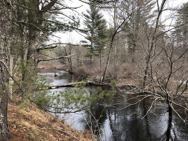
 
Deer in the area
 
Nice ice
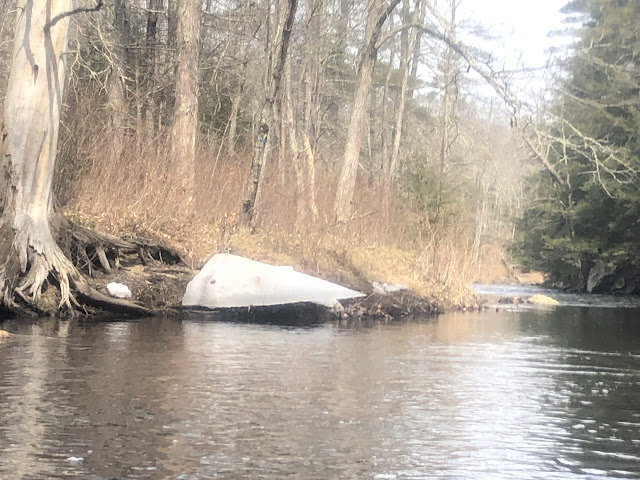
 
Old bridge abutments


Final portage right, looking back upstream
 
Steep takeout on the right


Wednesday, December 29, 2021

Sudbury River - Sherman Bridge to Route 27

Nice late December up-and-back paddle on the Sudbury. 39F at noontime launch and no wind made for ideal conditions for this time of year.  Water levels were also good, 227 cfs and 6.32 ft on Saxonville gauge.  Started from Sherman Bridge Landing, went upriver to Rt 27 bridge, Old Sudbury Road.  Saw a family of muted swans just prior to the bridge.  They took flight as I approached  and showed me why they are called “muted” with their muffled in-flight squawking.  After eating my packed lunch at the River Road Launch, I went around the Oxbow near the Wayland Country Club.  The cool ancient looking 3-arch Old Town Bridge was passable.  Had to navigate around some thin sheets of ice on the other side to return to the main river.  The rest was smooth paddling on open water.    
 
Start/End: Sherman's Bridge, Wayland, MA
Turnaround:  Rt 27 & River Road, Wayland, MA
Trip time: 2 hours, 20 min.  
Trip distance: 5.5 miles. 

 
Grey day on the Sudbury
 
Ice in the sloughs

River Road just beyond Rt 27 bridge was my turnaround point and lunch break spot

 
Old Town Bridge


Saturday, November 13, 2021

Sudbury River - Lincoln Canoe Landing to Cold Brook

Pretty up-and-back trip on the Sudbury on late fall morning.  Calm, sunny weather, 45-50F and high water (6.97 ft, 300 cfs on Saxonville gauge) made for a pleasant trip.  Lee's Bridge (Rt 117) is a beautiful stone arch.  Passed Nawshawtuc Country Club on the right.  Made it up to Pantry Brook, lifted over the small dam (1 ft high) to explore further upstream.  Passed 3 duck hunters in major camouflage.  Proceeded up Cold Brook about 200 yards before following the path through the brushy overgrowth made it more work than fun.  Returned to Pantry brook and ran the dam through a slot on the left just wide enough for a kayak.  Saw a couple blue heron and quiet beaver lodges. 
 
Start: Lincoln Canoe Landing (Rt 117), Lincoln, MA
End: Cold Brook, Sudbury, MA
Trip distance (approx):  3 miles.  
Trip time: 2 hours.


Morning sentinel

 
Entering Pantry Brook, portaged left through brush


Rt 117 in the distance
 
The sunny side of Lee's Bridge


Saturday, October 16, 2021

Ipswich River - Mortalo Landing to Route 97

Excellent one-way paddle down the middle stretch of the Ipswich on a warm 75F fall day. Water levels were medium 2.63 ft / 58 cfs on the South Middleton gauge.  Parked at High Street (Rt 97) Canoe Launch then ubered back to start.  First section was very windy through marshland with beautiful folliage on trees set back from the wetlands.  Only negative was gunfire in the distance, possibly from Danvers Fish and Game back upriver.  Paused for brief break at the sandy beach below Thunder Bridge.  Passing under the I-95 bridges in Topsfield the river became swampier, enough water to navigate around many downed trees, but sometimes hard to pick out the path of the river.  Did eventually run into two river-wide blowdowns that required portage, one was an enormous 200-year oak tree just ahead of the Salem Rd bridge.  Saw a handful of boaters on the second part of the trip. Wildlife was quiet, a pair of cardinals, blue jays, one blue heron, possibly a cormorant.  
 
Start: Mortalo Landing (Rt 62), Middleton, MA
End: High Street (Rt 97) Canoe Launch, Topsfield, MA
Trip distance:  6.25 miles  
Trip time:  2.5 hours
 
Put in at Mortalo Landing, quickwater under Rt 62 bridge

 
Gorg foliage


Nice beach below the low clearance Thunder Bridge
 
Approaching the massive I-95 bridges


Tree brain?

 
Huge oak blowdown blocking the river

 
High Route 1 bridge
 
The takeout