Friday, April 18, 2025

Nissitissit River

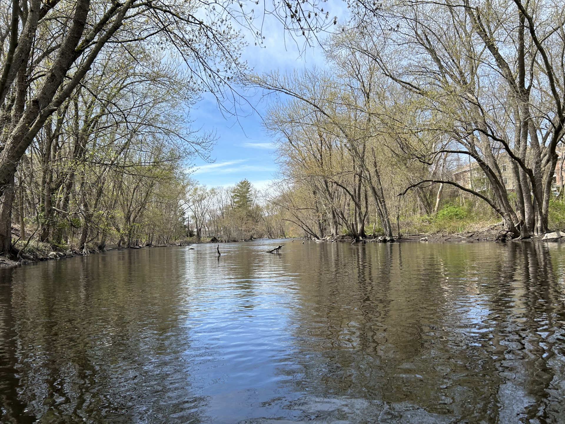
Beautiful spring trip down The Nissi, a winding and peaceful river.  It was a 56F and mostly sunny day with excellent water levels  (Nashua E Pepperell gauge 2.86 ft 799 cfs;  Squannacook gauge 2.83 ft 144 cfs). The first part of the trip winds through a marsh, passing through several mellow riffles and small drops. Saw a lot of wildlife: Tiny gold birds, pair of woodpeckers, many turtles and wood ducks. The action picks up the 2nd half of the trip in the section below the West Hollis Bridge.  About 1/2 mile below that are a quick succession of 3 river-wide blowdowns that required portages (right, over, over).  Then an expected small dam, which I ran left. Several fly fisherman were in this area too.  The finale of the trip was running the remnants of the Millie Turner dam which is 2 big drops (class II) followed by riffles to the Mill St bridge. Kayak bottom gained a few new scratches that last stretch!   

Start: Bohannon Bridge, Brookline NH
End: Mill St Bridge, Pepperell, MA
Trip Time:  2 hours 45 minutes.   
Trip Distance:  8 miles


The put-in at Bohannon Bridge


Peaceful upper section

The beavs did good work here

Natural bridge

Remnants of the old mill near W Hollis Road bridge


First of three river-wide blowdowns

Looking back upstream of dam, 2 channels blocked by downed tree


Not sure if this was a vulture but he looked ominous, drying his wings


Gorgeous day on the water!

Rapids at the former Millie Turner dam in Pepperell


Take-out below the Mill St bridge


Tuesday, June 4, 2024

North Nashua River

Nice long run on the North Nashua River on beautiful 75F sunny day.  Water levels medium and falling, 2.58 ft, 122 cfs on the Leominster gauge.  During the first half of trip there were 3-4 gravel bars to push through and many strainers to scoot around.  The second half of trip, below the Pellecchia canoe launch, was smooth sailing, just one river-wide trunk to glide over.  Such a beautiful, sandy river though notes of industrial past (many car tires, couple oil drums) and litter are present.  Made a brief side trip up the South Nashua River.  It's current was strong 3.25 ft, 289 cfs (and water warm 71F!) on the Clinton gauge.  Would like to explore further up this branch on a different day.   Note: the put-in at the end of Lancaster St is VERY STEEP, had to slide down the hill to the river, holding onto trees on the way down. The take-out is easy, though muddy, parking for 3-4 cars.     

Start: 1081 Lancaster St, Leominster, MA
End:  Canoe Launch/Rte 117,  7 Bridge Road,  Lancaster, MA
Trip Time:  3 hours 25 minutes
Trip Distance:  10 miles


The very steep launch at the end of Lancaster St in Leominster

Into the North Nashua!

First gravel bar to push through

1st of two old oil drums along the river

Solid drop right under the power lines, followed by 3 sets of easy rapids, a bit of rock scraping

A small rocky channel to the left of the old dam gets you by without portaging

Approaching the Pellecchia canoe launch under bridge

Stopped for lunch here.   Also good starting point for a shorter (5 mile) trip

2nd oil drum of the day

Beautiful sandy river bottom in Lancaster

Car tires prevalent here too:  


Ran into a family of wood ducks....

This guy did his best to keep up, flying/running along the water!

Leaning pine

Inspiration of the day

The entrance to the South Nashua, was able to push through the right side then up about 200 yards

Cows on the hill

I caught the attention of this one

Blue heron in flight.  Check out the spindly legs trailing

Muddy take-out

Take-out sign along Rt 117


Saturday, April 27, 2024

Assabet River - Maynard to West Concord

Nice spring trip down the Assabet River through downtown Maynard rapids into West Concord. Water levels were good, 261 cfs, 2.8 ft on the Maynard gauge. Scraped bottom a few times through Maynard but there was enough flow to get through without major issue. The biggest drop was under the very first bridge (Great Road / Rt 62), followed by a lot of Class I and quickwater until the Waltham St bridge Class II finale. A guy walking his dog across that bridge stopped to see how I'd do, I made it through with just a few scrapes. One portage on this trip, left around the Powder Mill Dam which was flowing fast and furious. The rest of the trip was quickwater to the very muddy Pine Street takeout.  Saw two fly fishermen in Acton. Many turtles were out sunning today.  
Start: Ben Smith Dam, Maynard, MA
End: Pine St Bridge, West Concord, MA
Trip Time: 1 hour 45 minutes 
Trip Distance: 5 miles


Put-in below the Ben Smith Dam

Great Road (Rt 62) bridge, I went right this time

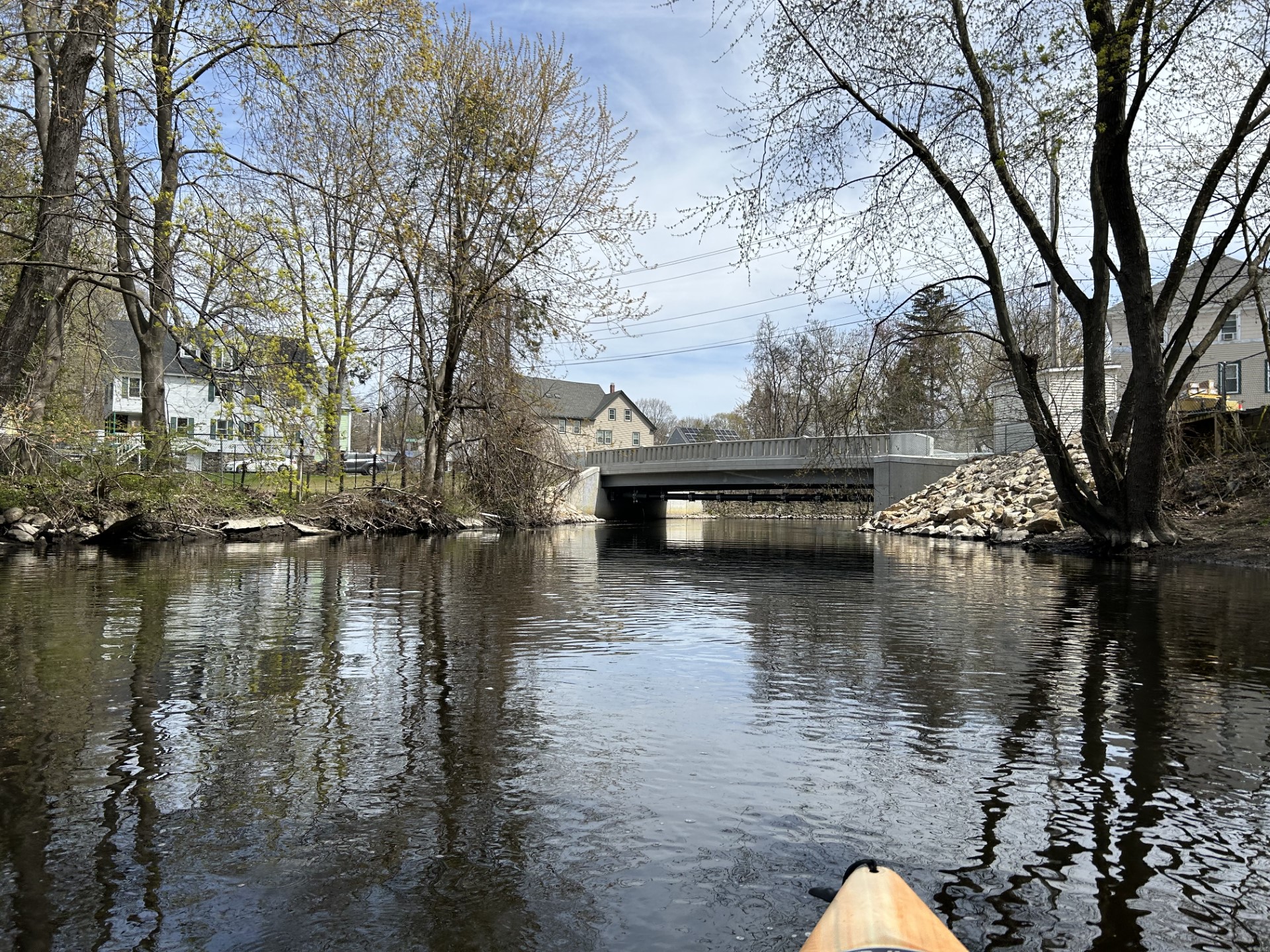
Newly rebuilt (2023) Florida Road bridge 


Heading into downtown Maynard under the Assabet River Rail Trail then Main St bridges

Some outflows here and there but the river smelled fine on this day

Turtle time!!

looked like an abandoned kayak and a clear glass time machine above it

Powder Mill Dam in Acton, from above..

.. and below


A video to capture the flow and sound: 


Getting back onto the river below Powder Mill, had to drag/ferry to the right side of that abutment

Damon Mill looking stately in the sun

The mill race below Damon Mill

The muddy takeout at Pine Street.  River was sparkling